GIS
Complete truffle consultancy services for any grower.
Complete truffle consultancy services for any grower.
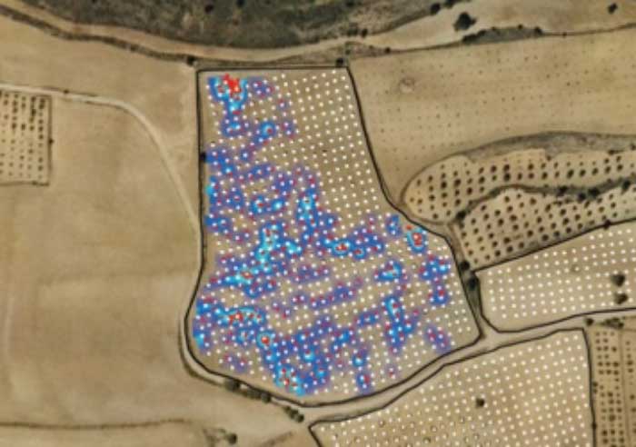
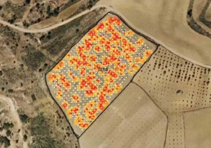
GIS, or Geographic informational systems, is a technique frequently used by corporate farms in the Midwest to track crop production. Factors such as soil type, irrigation, and much more are used to draw conclusions. By utilizing this software to plot truffle trees and harvest yields, it is possible to create a map of truffle production, allowing the client to notice unproductive zones, wet areas, dry areas, etc. As a benefit, we can make recommendations on how to address any production issues including non-production, solved by adding additional mycelia.
All information is confidential and shared exclusively with the customer.
Provide us with information about your orchard and we can create a specialized map, just for your needs.
These prices do not include tax

In GIS collection, the client or client’s employees use a GPS unit attached to the forearm via an armband. When harvesting a truffle, they will record a point on the GPS unit that we then compile into a map. At the end of a truffle season, Carolina Truffières requests data, and then we produce maps with corresponding yields using our GIS software.
This service allows both the owners of the farm and any employees to have more information on the operation. The key result is the ability to make more informed decisions that have a positive impact on management strategies, leading to better yields.
As part of the service, Carolina Truffières provides training on how to plot and share data. However, GIS systems are only recommended for either farms that have gone into production or large orchards hoping to organize before production. Otherwise, this service is not useful to the truffière owner as it relies on an economy of scale.

Mon-Fri 8:00 AM to 4:00 PM *Visits By Appointment Only*

